


 minipc.de
PTV FleetNavigator 10.5 (Germany/Austria/Switzerland (DACH), Speech, TMC) [PDA/PC]
PRODUCT IS CURRENTLY NOT AVAILABLE !![PTV FleetNavigator 10.5 (Germany/Austria/Switzerland (DACH), Speech, TMC) [PDA/PC]](https://www.minipc.de/image_db/Fleet_Nav_6_DACH_DE.jpg)
- TMC support !
- 2D/3D view !
- Speech !
- Map&Guide Fleet Navigator !
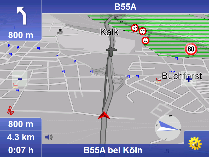
Professional navigation on notebook, Car-PC or PDA with door-to-door routing and Touchscreen optimized interface. Audio navigation prompts are combined with a clear map display on the PC.
New in Version 10.5 (26.10.2018):
- Map data 2018.2N
New in Version 10.0 (21.11.2017):
- Bugfixes
- Map data 2017.2N
New in Version 9.0 (16.11.2015):
- Bugfixes
- Map data 2015.2N
New in Version 8.5 (16.10.2014):
- GLONASS-GPS-support
- Economic avoidance of toll for Germany and Austria
- Map data 2014.2N
New in Version 8.0 (25.11.2013):
- route planning with approxima
[more]
![]()
incl. 19% VAT, plus shipping
Product currently unavailable. We check availability again when ordering.
Professional navigation on notebook, Car-PC or PDA with door-to-door routing and Touchscreen optimized interface. Audio navigation prompts are combined with a clear map display on the PC.
New in Version 10.5 (26.10.2018):
- Map data 2018.2N
New in Version 10.0 (21.11.2017):
- Bugfixes
- Map data 2017.2N
New in Version 9.0 (16.11.2015):
- Bugfixes
- Map data 2015.2N
New in Version 8.5 (16.10.2014):
- GLONASS-GPS-support
- Economic avoidance of toll for Germany and Austria
- Map data 2014.2N
New in Version 8.0 (25.11.2013):
- route planning with approximate stop-off points improved (fuzzy via)
- Map data 2013.2N
New in Version 7.5 (30.10.2012):
- due to the intelligent self-learning mode (ETA), time is calcula-ted on the basis of individual driving behaviour, resulting in a more accu-rate calculation of the time of arrival.
- route planning with approximate stop-off points (fuzzy via)
- announcement of navigation instructions in off-road mode
- announcement of texts with Text2Speech
- display of other vehicles (bud-dies) with geofencing alerts
- only a few tags are sufficient to influence the routes.
- Map data 2012.2N
New in Version 7.0 (21.11.2011):
- Improved graphical design
- Option to "Avoid toll roads" [only PC/PDA]
- Self-learning vehicle profile [only PC/PDA]
- Faster address-search
- Map data 2011.2N
Basic functions
Mobile navigation is a popular alternative to an expensive installation. map&guide fleet navigator provides:
Door-to-door cross-border navigation
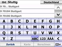
Intuitive, easy operation
Precise visual cues and spoken instructions
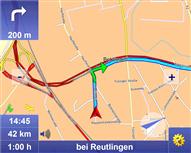
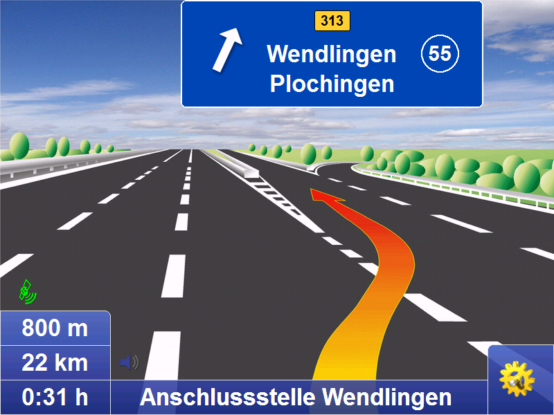
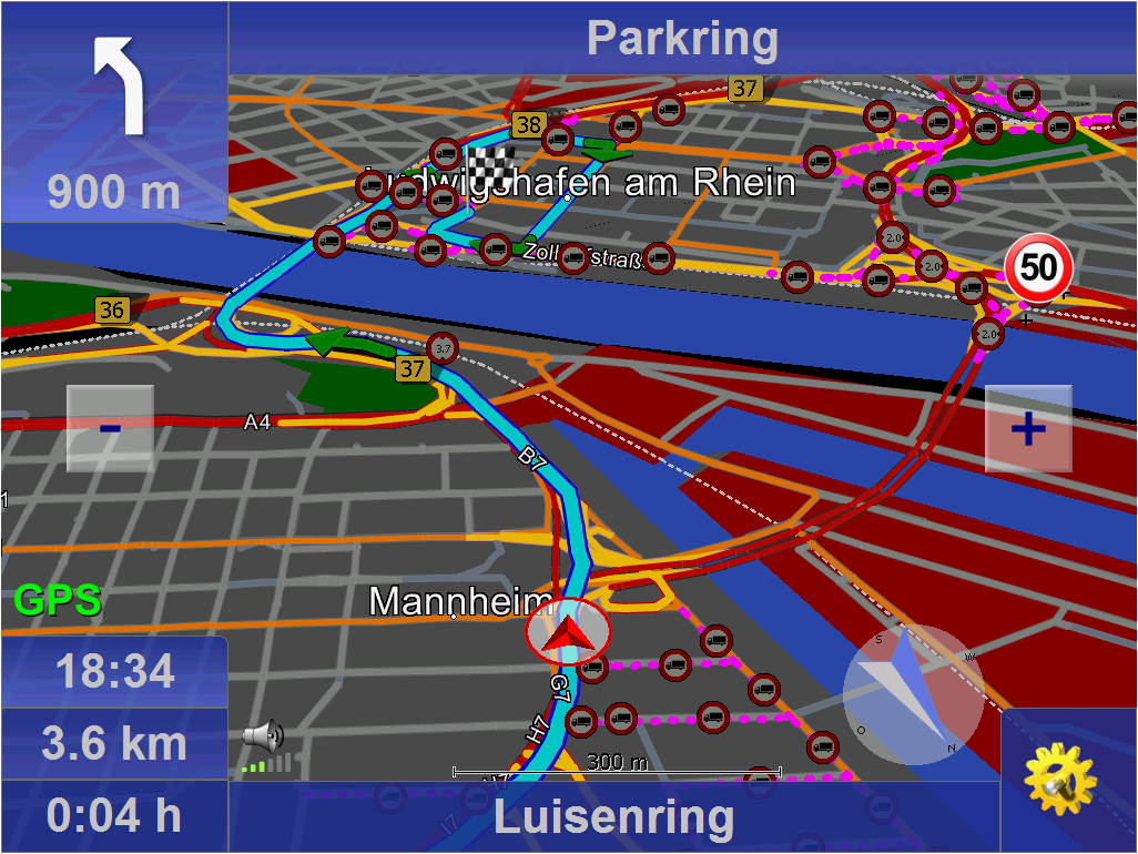
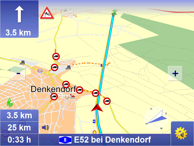
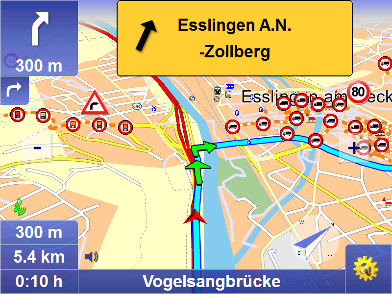
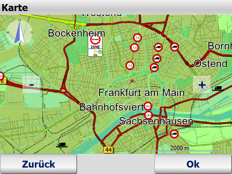
2D and 3D navigation using map&guide clear, intuitive maps
Proven, professional map&guide routing and navigation
Extrapolated positioning in tunnels
Dynamic navigation: The latest TMC information is received on a TMC receiver free of charge and used to update the route while on the road.
map&guide fleet navigator supports the following languages: German, English, French, Dutch, Italian, Spanish, Portuguese, Danish, Norwegian, Swedish, Polish, Czech, Slovak, Slovenian, Hungarian, Romanian, Turkish, Russian, Bulgarian
Auto-Smartzoom for optimum map information when approaching a manoeuvre
Automatically switches between day and night view
Speed warning limits also for trucks in many countries
Text2Speech
Coordinates input
Global search for POIs
Realistic motorway signs and junction views
Connected navigation
With map&guide fleet navigator it is possible to control the
navigation of your service employees' cars from your control center: Order files (RC-Interface) and interfaces in C and C# (RI-Interface) enable communication between map&guide fleet navigator and a secondary software which establishes communication with the control center. These functions are used to:
send stop-off points as address from the control centre to the navigation
request GPS positions from the navigation and make them available to third-party applications
start and end mobile navigation
transfer and display messages to the navigation
Guided navigation: Transfer of entire route navigation
Show other vehicles (buddies) via interface
One fleet - various vehicle profiles
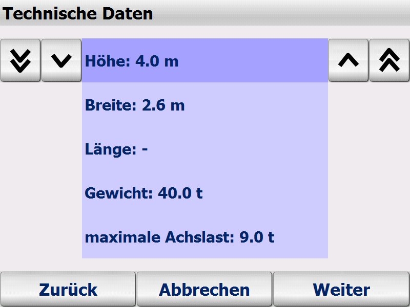
Create different vehicle profiles for the various vehicles in
your fleet this ensures that navigation is tailored to the vehicle. When creating vehicle profiles for cars and trucks with map&guide fleet navigator the following criteria can be taken into account:
Speed profile
Avoiding motorways or ferries
For cars: Optimisation of route in terms of economy or time
For trucks: Avoiding smaller streets (bypasses), turning, residential areas
Supported operating systems
Microsoft Windows Mobile 2003 for Pocket PC (incl Second Edition)
Microsoft Windows Mobile 5,6 (inkl. Phone-Edition)
Microsoft Windows 2000, Windows XP, Windows Vista, Windows 7, Windows 8
Included maps :
- Central Europe City (D,A,CH)
- Major road network in Europe
Scope of Supply :
- Fleet Navigator (includes PDA/PC program and all maps)
Screenshot-gallery with Step-by-Step introduction (Version 7)

Manuals
German
English
French
Dutch
Developer-API
Remote Control
Remote Interface

Please tell us your opinion. Rate the product on a scale from 1 to 5. A value of 5 means the best possible rating.
If you want you also can leave a comment.
Your ratings are honored on many ways. Your report will help other customers to better judge about the products. And
you can benefit from reports other customers are giving.
In addition we credit 0.50 EUR for each given rating with comment and 1.00 EUR for each given rating with comment (more than 150 characters)
on your account. The credit will be substracted automatically on your next order !
We reserve us the right to delete given comments (for example on attempts to give comments with senseless content, copying of other comments, inserting of foreign content, abusing the system for financing orders).
"Fair-use-policy" does apply (as of rule of thumb you should give comments for products which you have purchased already. And your credit account only in rare cases will have 2 or even 3 digits). The credit can only be withdrawn by placing an order. It is not possible to get the credit cash or transferred in an other way.
Customer ratings:
 Average rating, based on 4 ratings |
 from
from  from myli am 07.07.2009
| See all my comments
from myli am 07.07.2009
| See all my comments
Super Programm für die Navigation. Toppt den Destinator welcher im Centrafuse enthalten ist allemal.
Die vielzahl an sprachen macht es möglich auch Sprachen zu lernen :)
Spaß bei seite.. Top Navisoftware für einen unglaublich günstigen Preis
from willem_ii am 22.04.2009
| 
Gutes Navigationsprogramm mit einfacher Handhabung und Installation auf PDA. Die Darstellung auch im 3 D auf dem PDA ist ok und die Zusatzfunktionen sind mehr als ausreichend. Rundum ein gutes Programm. Die schnelle Lieferung und der Service von Cartft.com sind absolut TOP!
Pro:
Sehr guter und motivierter Support!
Sehr gute Anbindungsmöglichkeiten an bestehender Software!
Neutral:
Benutzerführung in Navigation
Kontra:
Altes Kartenmaterial (Q2/2010) bei Lieferung (Q2/2011).
Reines Kartenupdate nicht möglich...